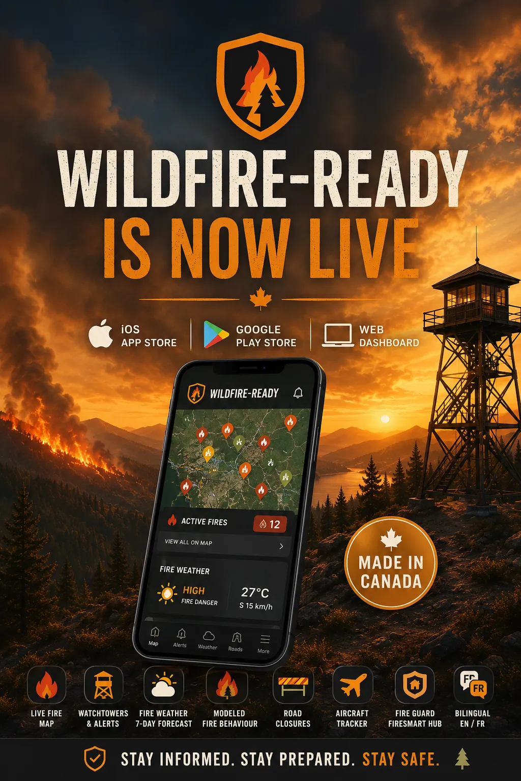
Live wildfire map & alerts across Western North America
Serving more than 130 million people — Western Canada and 18 western US states, from Alaska to Texas.
Active fires, perimeters, hotspots, air quality, evacuation alerts, road closures, and a Fire Guard preparedness hub. Official agency data only, free forever, expanding region by region as the community grows.
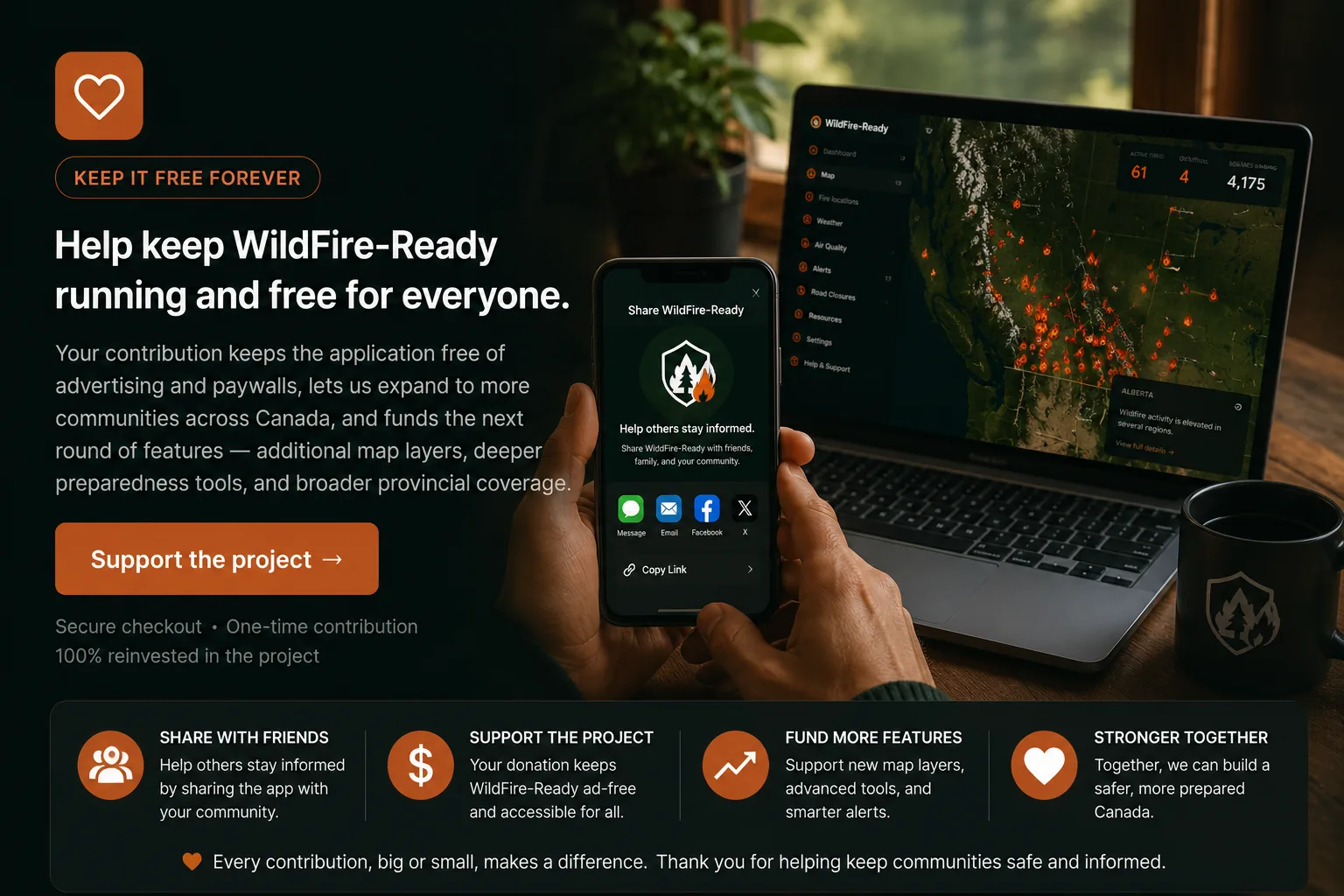
Help us grow WildFire-Ready
Two simple ways to keep WildFire-Ready free for everyone.
WildFire-Ready is independent, free of advertising, and built only from official government sources. Two small actions go a long way toward keeping it that way and reaching more communities before the next bad season.
Support the project →
Secure checkout · One-time contribution · 100% reinvested in the project
Get WildFire-Ready
Three ways to use WildFire-Ready today.
Live on the web, the Apple App Store, and Google Play — free, ad-free, no account required.
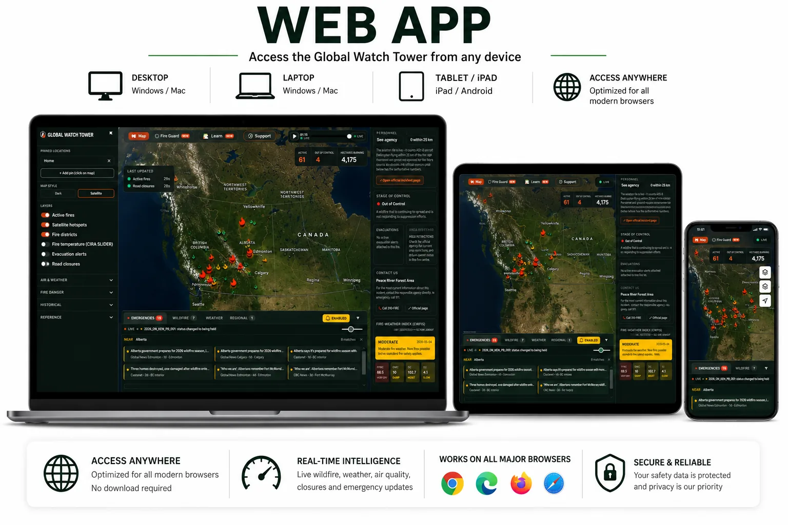
LIVE · Any browser
Open in any browser
No download is required. The web dashboard runs in any modern browser on Windows, macOS, Linux, ChromeOS, iPad, and Android tablets — useful for monitoring conditions across the region from a larger screen.
One click. Loads in seconds. Always the latest version.
Open the web application →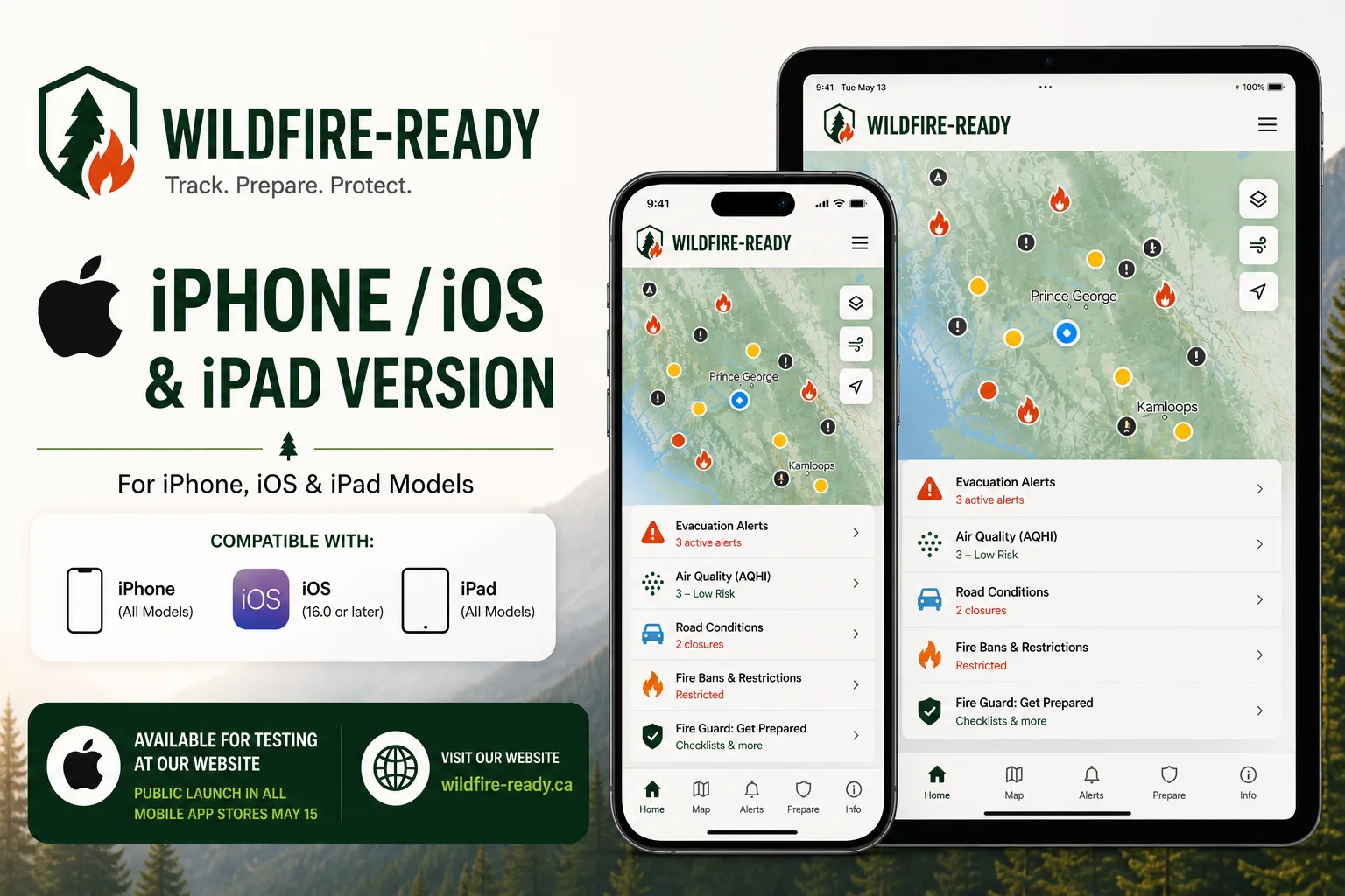
LIVE · iPhone & iPad
Download on the App Store
Live on the Apple App Store. Tap the button to install. Free, no account required, available across Western North America.
Free download from the App Store.
Get it on the App Store →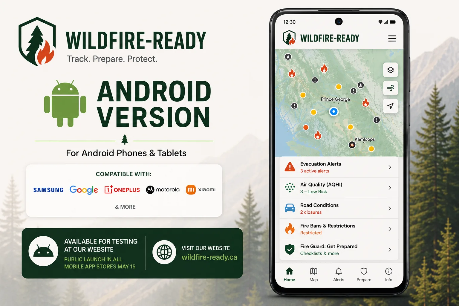
LIVE · Android
Get it on Google Play
Live on Google Play. Tap the button to install. Free, no account required, available across Western North America.
Free download from Google Play.
Get it on Google Play →Free forever. No ads. No in-app purchases. Built only from official government feeds.
Fund WildFire-Ready
Become a founding sponsor.
WildFire-Ready is independent, free, and ad-free public-safety infrastructure for Western North America — from Alaska to Texas — live right now during real wildfire emergencies. We don't run ads, sell paid placements, or accept sponsored content inside the app — but engineering, satellite ingestion, and map tiles cost real money. Sponsors keep it free for everyone, and your support is named publicly so people know who made it possible.
Your brand here — founding sponsor
Founding Sponsor Founding Sponsor
Your logo and name on the app's loading screen and on our Supporters wall, credited in the app's About screen, and named in launch updates and press outreach. Lasting recognition as one of the organizations that kept WildFire-Ready free.
Supporter
Whether you chip in cash or contribute in-kind — gear, swag, or services — your logo and name go on our Supporters wall, seen by residents who rely on the app.
Discuss a partnership →
Or email team@wildfire-ready.ca
Interested in becoming a supporting member?
Want to help expand coverage to a new region, sponsor engineering, partner on a community-safety initiative, or just chat about what we're building? Drop us a line — every message goes to a real human, and we read all of them.
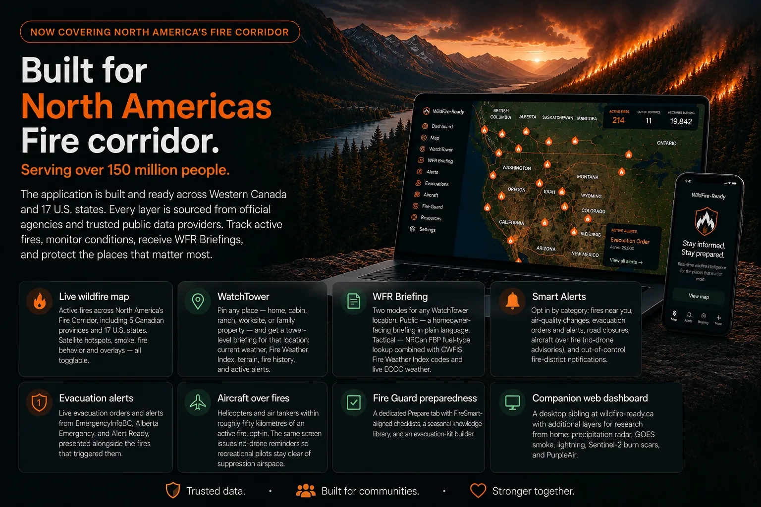
What's in the app — wildfire awareness for Western North America, deepest in BC and Alberta
Companion to 911. Government feeds can be delayed or
incomplete. Always confirm critical details with the authoritative
source before acting, and in an emergency call 911.